Geophysical Surveys
Geophysical Surveys
Geophysical service capabilities that cover a broad range of client needs.
We are committed to solving complex geologic problems by creating field programs that are objective-driven and budget conscious.
Engineering Geophysics
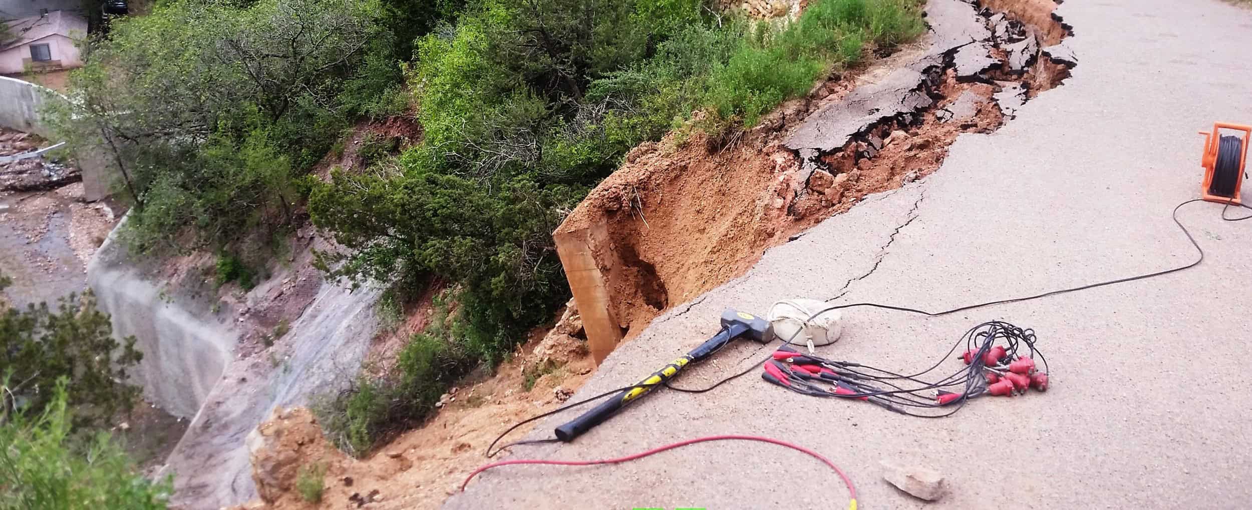
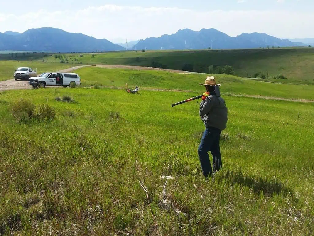
With our engineering geophysical capabilities, we can characterize the subsurface with a wide range of methods to support engineering projects. The scale and goal of the geophysical survey is tailored to your specific project, whether it be a rippability survey for a new home or subsurface geologic mapping over hundreds of acres. Our specialty is to take the newest geophysical methods and apply them to new and old problems to maximize our client’s understanding of their site.
Engineering Geophysics involves:
- Subsurface characterization for civil structures
- Geotechnical site investigations
- Geological characterization, applying seismic, electrical, electromagnetic, magnetic, and ground penetrating radar methods
Environmental Geophysics
Our geophysical expertise allows us to characterize the environmental properties of a site to a greater detail than possible with conventional sampling. We have performed surveys to detect subsurface metallic objects, image geologic conditions for contaminant migration, monitor subsurface change during remediation, and many other surveys for environmental characterization. We design our surveys for each site to maximize the benefit to our client.
Environmental projects deal with:
- The detection of subsurface metallic objects (UST, pipes, UXO/MEC) and features
- Imaging of geologic conditions
- Identifying subsurface changes during remediation

Groundwater Geophysics
The ever-increasing need for groundwater has translated into a need to better characterize groundwater environments. With groundwater geophysics, we can image saline intrusive bodies, water table depth, aquifer confining layer, and many other aquifer characteristics. This is a rapidly developing field of geophysics with new methods and instruments being introduced every year, and we stay on the cutting edge of groundwater geophysics.
Groundwater projects are typically performed on the upper 1000 feet of the ground surface, focusing on:
- Unconfined aquifer investigations in shallow unconsolidated alluvial deposits
- Confined aquifer investigations which is controlled by bedrock or ‘formation character’ (ex. shale versus sandstone)
- Confined groundwater in faults, fractures, or karst geologic conditions