Electrical Resistivity Tomography
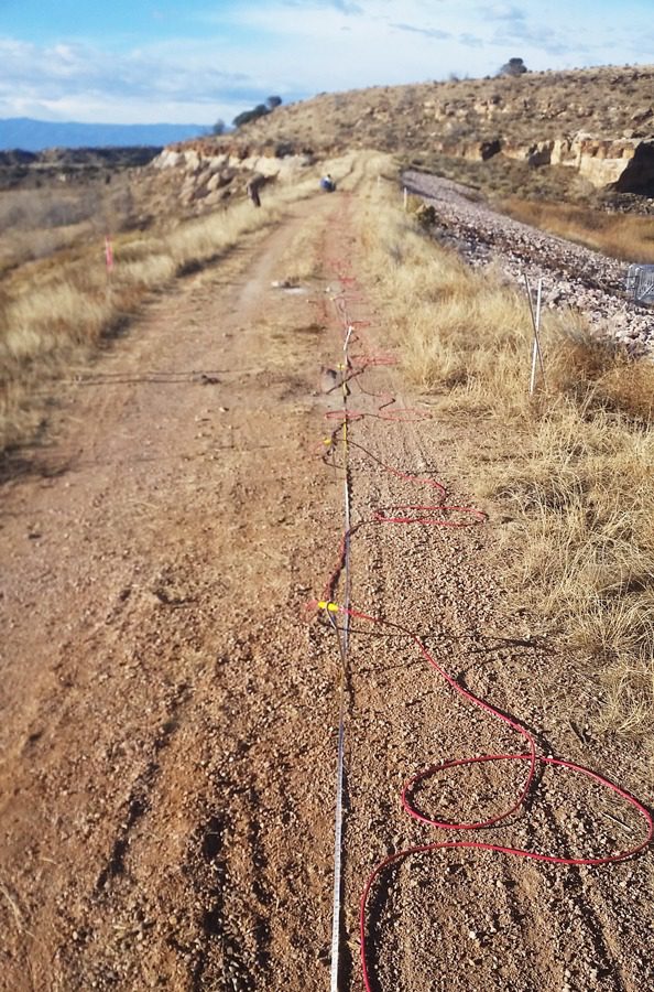
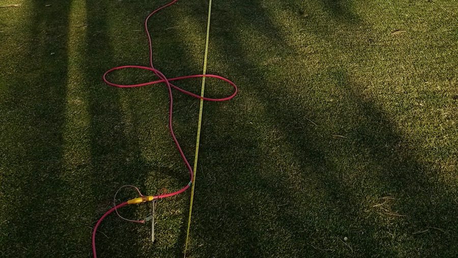
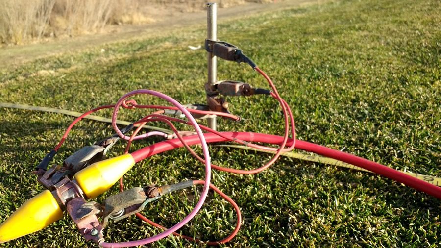
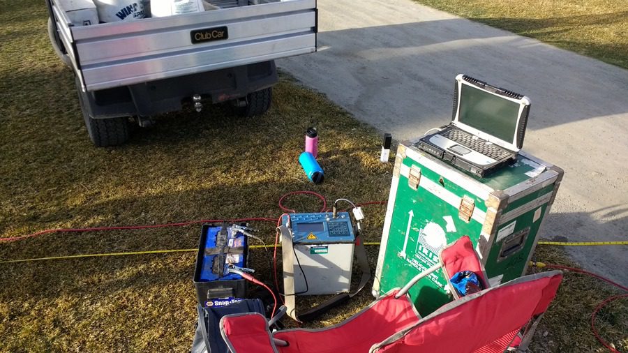
The ERT method is an electrical testing method where current is induced in the ground using two current electrodes. The electrical potential drop is then read using two other electrodes. There are many different electrode array configurations available, but all configurations are aimed at gathering data that can be used to estimate lateral and vertical variations in ground resistivity values. ERT can be used to map geologic variations including: soil lithology (e.g., clay versus gravel), presence of ground water, fracture zones, variations in soil saturation, areas of increased salinity or, in some cases, ground water contamination. ERT can be used to map bedrock depths and geometry; although in most geologic settings MASW or SRT are better suited for mapping top-of-bedrock. ERT is often the best option for mapping cavities such as caves, karst and/or evaporite dissolution sinkholes. Like seismic, the electrical method has the capacity to yield either 1D (vertical electrical sounding), 2D (profile) or 3D (volume) imaging. Olson uses the appropriate electrode array and choice of 1D, 2D or 3D based on objective and budget. Electrical methods are most affected by the geochemistry of the subsurface; that is, grainsize distribution, ground water chemistry and/or the presence of contamination.

Applicable On:
Soil
Rock
Groundwater
Test For:
Saturated Zones
Paleochannels
Soil Lithology
Groundwater Contamination
Karst


Structural, Pavement, & Tunnel Methods
Foundation Depth & Integrity Methods
Geophysical Methods
Seismic
Electrical Resistivity
Electromagnetics
Ground Penetrating Radar
