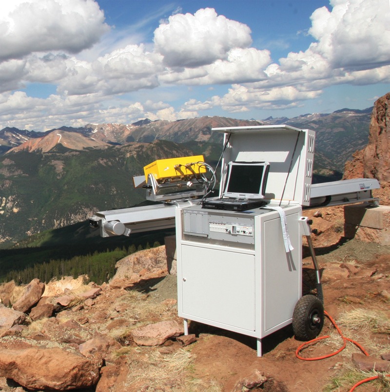
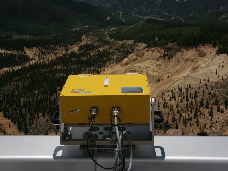
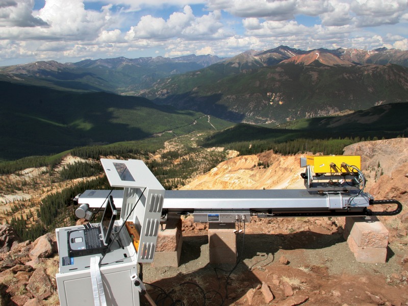
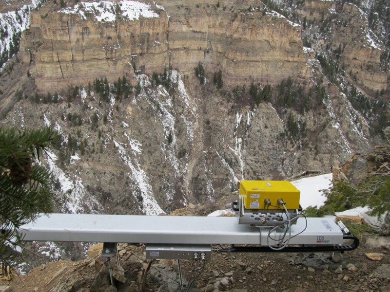
Interferometric Surveys
Olson Engineering has the equipment and expertise to offer remote monitoring by interferometric radar to measure movement at landslides, surface mining operations, earthen dams, areas of subsidence, glaciers/avalanches, and volcanoes. Olson Engineering owns both IBIS-S and IBIS-L equipment to carry out Imaging by Interferometric Surveys (IBIS).
Applicable On:
Landslides
Slopes
Mines
Sinkholes
Glaciers
Avalanches
Volcanoes
Earthen Dams
Test For:
Displacements over large areas


METHODS
Structural, Pavement, & Tunnel Methods
Foundation Depth & Integrity Methods
Geophysical Methods
Seismic
Electrical Resistivity
Electromagnetics
Ground Penetrating Radar