Surface Ground Penetrating Radar
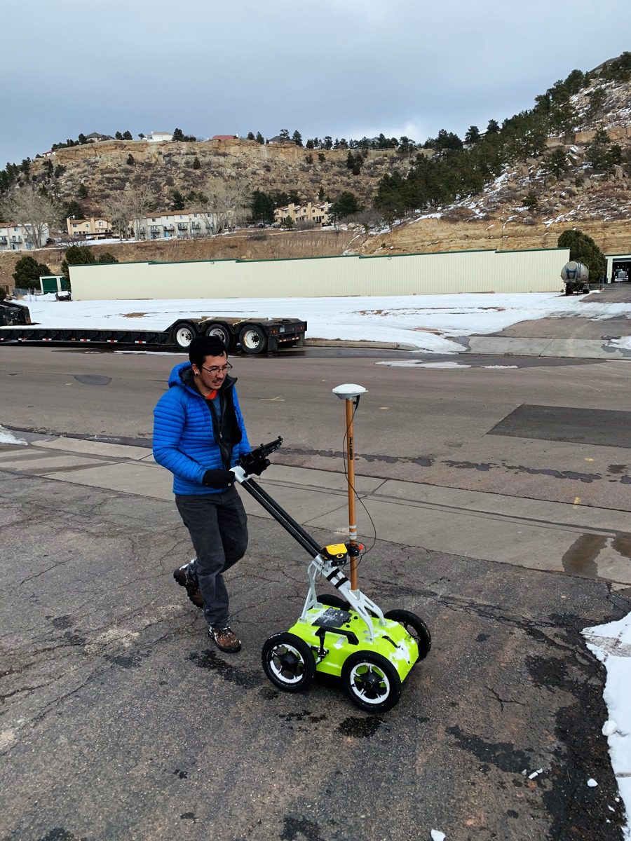
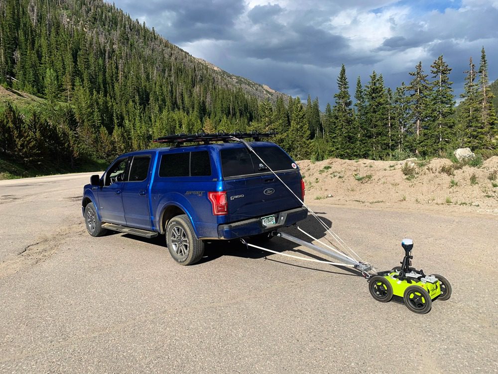
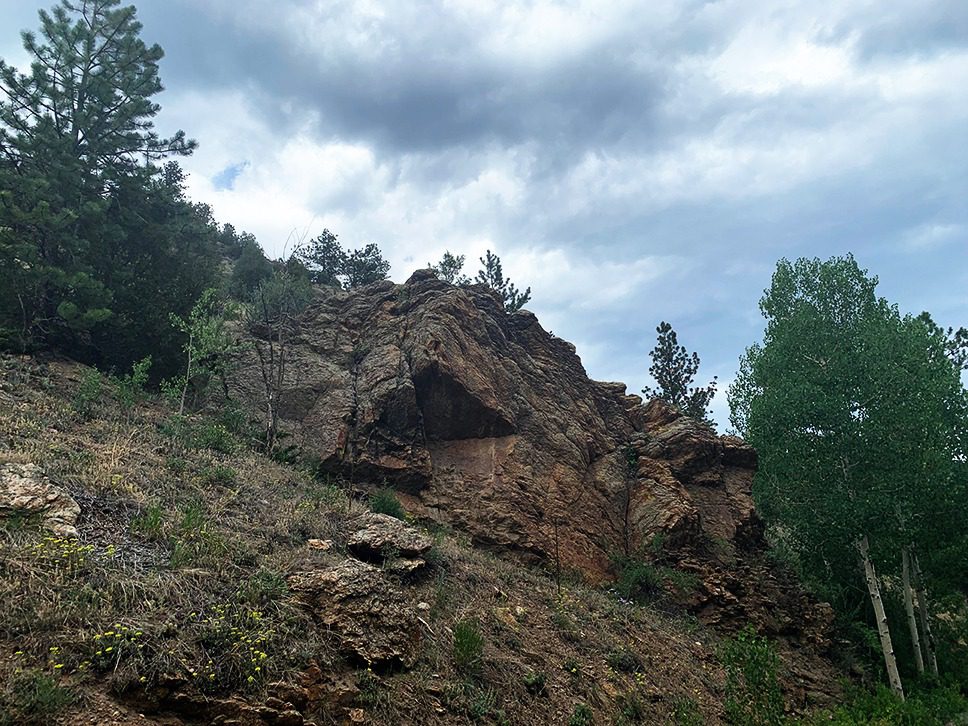
This method has the greatest cross-over between NDT structural- and ground-imaging investigations. GPR is covered extensively elsewhere on this website as an NDT method (1) (2), therefore this page focuses on the application of GPR to image earth materials. The GPR method is a wave propagation technique that transmits and receives electromagnetic waves (EM or radio waves). The technology is most commonly used in zero-offset reflection survey mode, where the EM signal is virtually a vertical travel-path, but can be configured for use in an offset reflection mode as well. Many GPR systems and antennas are commercially available. Ground-coupled antennas range in center frequency from 25 to 1500 MHz, which are the systems used for ground imaging, and air-coupled (or air-horn) antennas which go as high in frequency as 2.2GHz that are used for pavement and concrete imaging. In GPR, the lower frequency range allows for a greater depth-of-investigation but at the cost of target resolution; while higher frequencies have tremendous resolution but are limited on depth-of-investigation. GPR for ground imaging is commonly used for mapping underground utilities, karst features such as cavities and voids, soil and/or rock layer thickness, fractures in bedrock, lava tubes, underground storage tanks (UST), detecting old foundations, and mapping debris or other obstacles to construction. Although GPR can be applied very successfully for a multitude of applications, it can also be very limited for a multitude of reasons: clayey soils, saturated soils, saline groundwater, no penetration beyond/through metallic objects, or alkali on the ground surface. Understanding the site and geologic conditions are paramount to determining the likelihood of GPR to meet the project objectives for a given application.

Applicable On:
Soil
Rock
NDT Applications (Pavement, Concrete Imaging, Etc.)
Test For:
Geologic Features
Underground Utilities
UST
Obstructions to Construction


Structural, Pavement, & Tunnel Methods
Foundation Depth & Integrity Methods
Geophysical Methods
Seismic
Electrical Resistivity
Electromagnetics
Ground Penetrating Radar
